
|
|
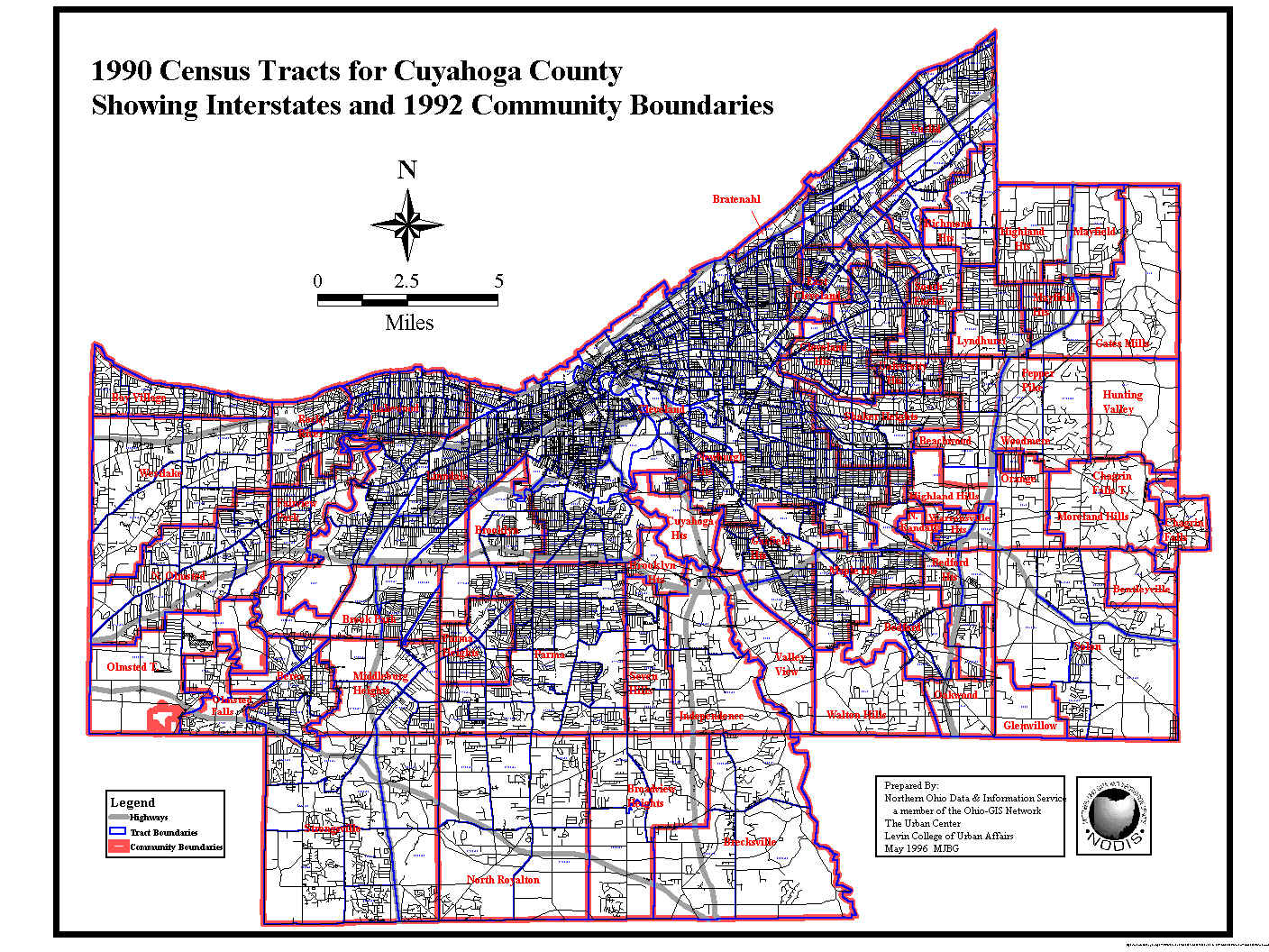
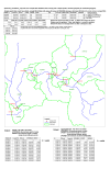
1990 Census Tracts for Cuyahoga County Showing Interstates and 1992 Community Boundaries |
|
|
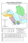
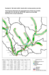
Catchment Aggregation By Magnitude - (after running basin_aggregation_v3.mbx) |
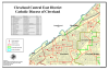 |
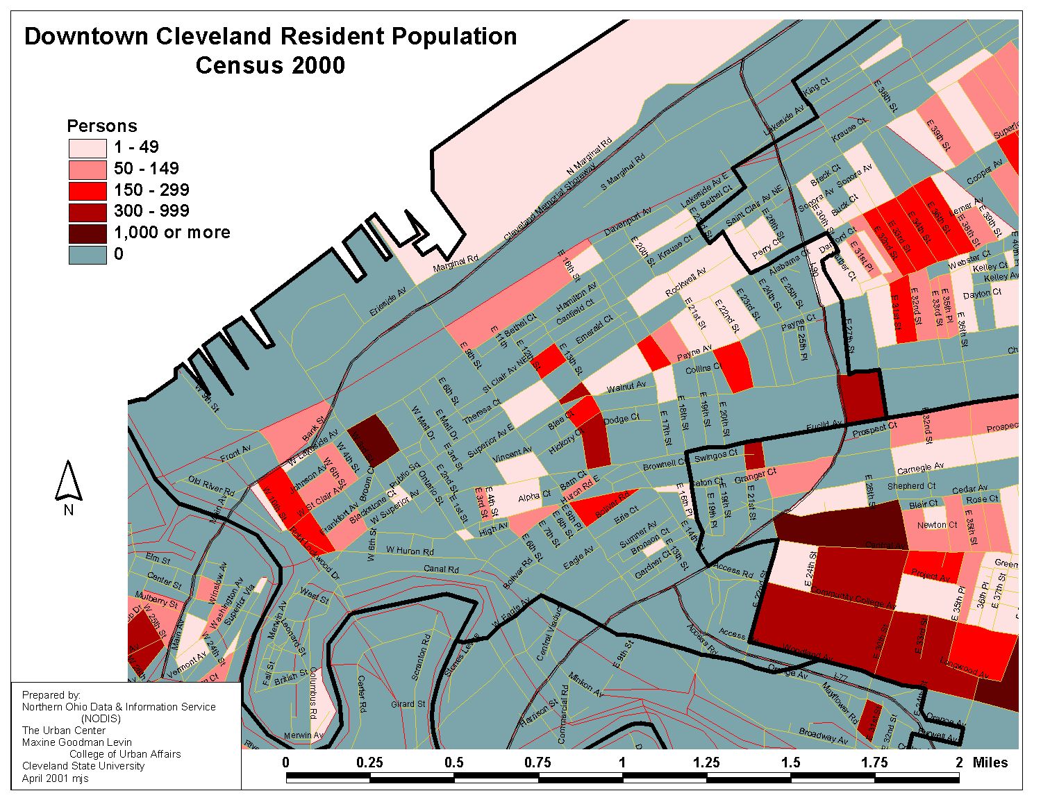
Cleveland Central East District - Catholic Diocese of Cleveland
|
|
|
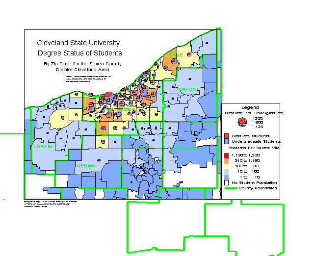
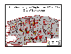
CSU Degree Status of Students By Zip Code for the Seven County Greater Cleveland Area |
|
|
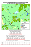
Distance to Downstream Sample Point and Downstream Catchment - Calculating Aggregated Land Use & Census Variables |
|
|
Example of 120 Meter Buffer Results After Running Riparian_buf.mbx The Program determines the aggregated area of land use in buffer distances of 15, 30, 60, 90, 120, & 150 meters from the DEM derived rivers in each catchment. |
|
|
Flooding Entry on September 6 and 7, 1990, City of Lakewood (PDF format) |
|
|
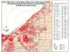
I90/ E 140th Street/ Coit Rd Major Retail Centers with Distance Buffers showing Population Density (Persons per Square Mile) by 2000 Census Block Group |
|
|
Land Use on Cuyahoga County (PDF format) |
|
|
The Location of Existing and Proposed Emergency Call Boxes and Outdoor Public Phones (PDF Format) |
|
|
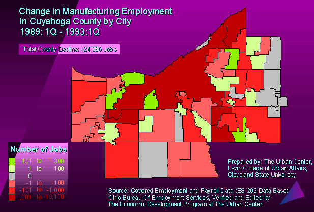
Manufacturing Employment in Cuyahoga County, 1989 1Q - 1993 1Q |
|
|
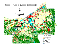
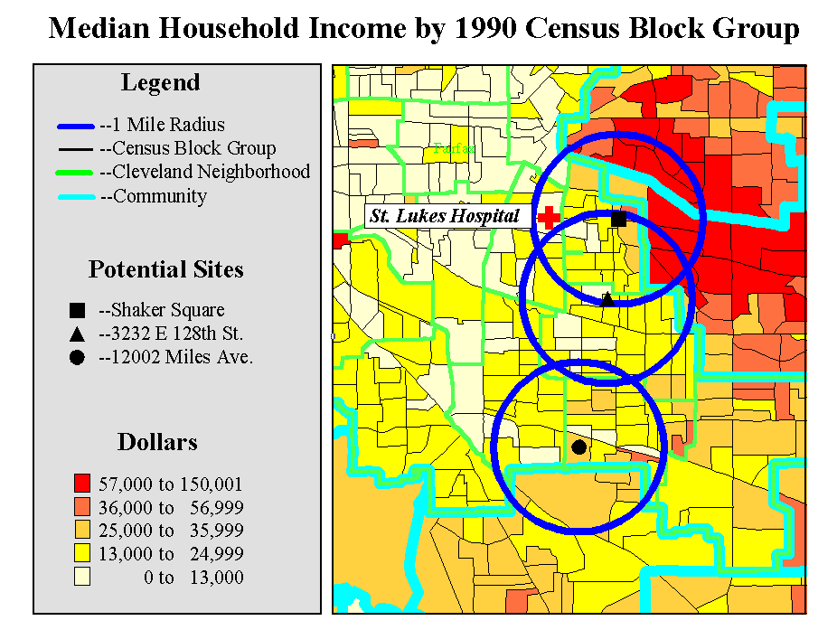
Median Household Income by 1990 Census Block group (St. Luke's Hospital Neighborhood) |
|
|
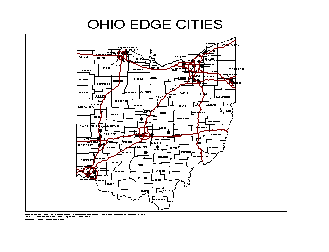
Ohio Edge Cities |
|
|
Ohio House District 25 with Community and County Borders |
|
|
Parcel Owners to Notify for Road Resurfacing - Ansel Road (PDF Format) |
|
|
Selected Organizations and Facilities within the Downtown Statistical Planning Area |
|
|
Strategic Retail Initiative & Suburban Grocery Stores Showing Persons Per Square Mile by 2000 Census Block Group |
|
|
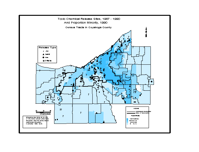
Toxic Chemical Release Sites, 1967-1990 And Proportion Minority, 1990 Census Tracts in Cuyahoga County |
|
|
Upstream_Calculation_Only.mbx Uses 3 Input Files Identifed When Running mbx: Sample Points, Streams (Polyline), & Catchment (Polygon). |
Northern Ohio Data and Information Service