

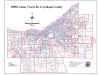
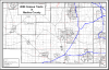
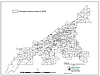
2010 Census Tract Maps by County
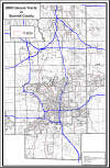
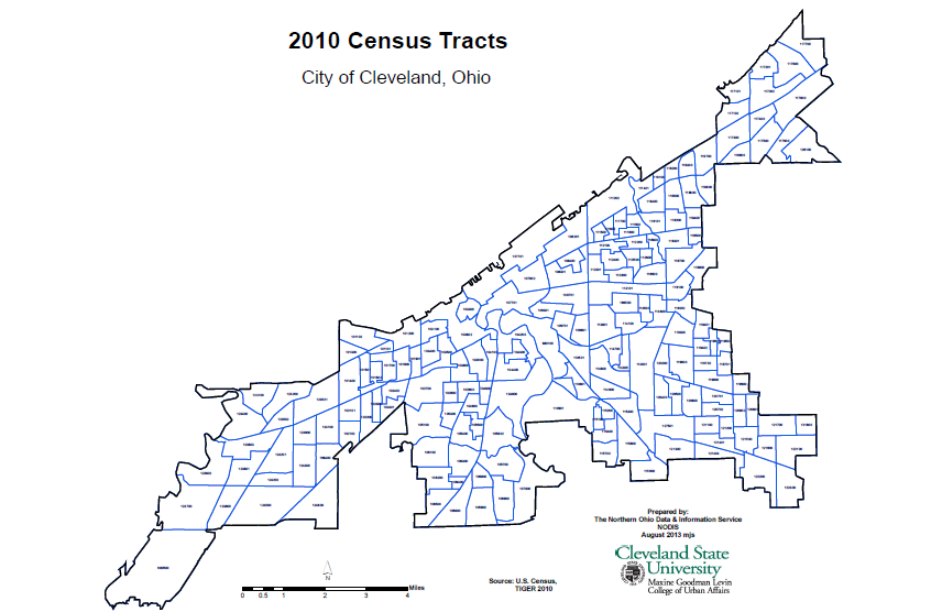 2010 Census Tracts in Cleveland |
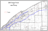
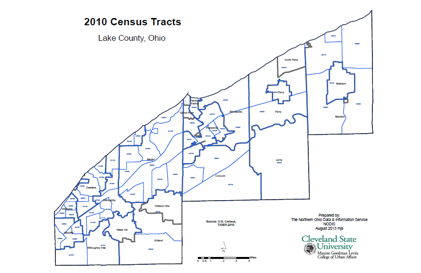 2010 Census Tracts Lake County |
|
|
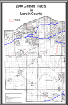
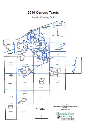 2010 Census Tracts Lorain County |
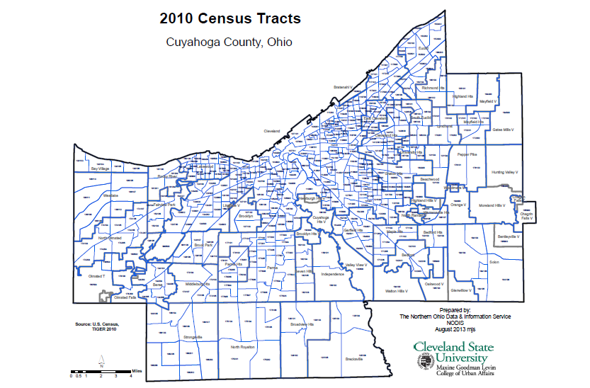
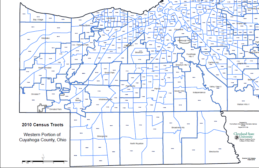 2010 Census Tracts Western Portion of Cuyahoga County |
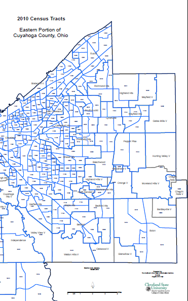 2010 Census Tracts Eastern Portion of Cuyahoga County |
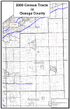
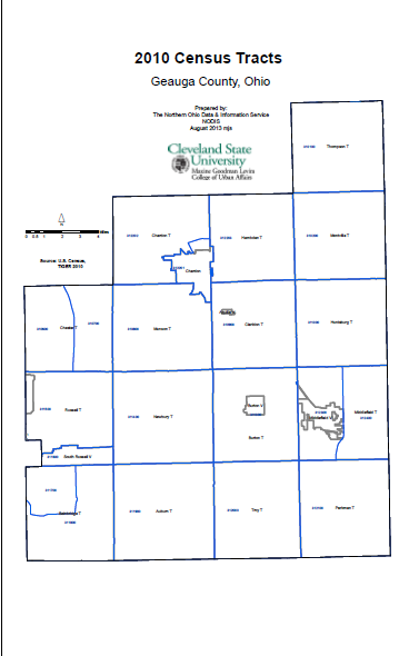 2010 Census Tracts Geauga County |
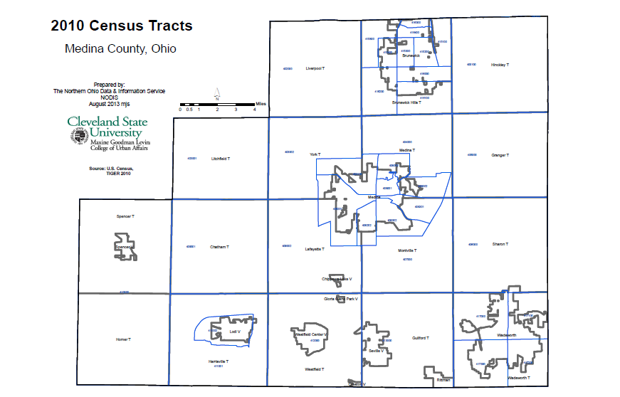 2010 Census Tracts Medina County |
2010 Census Tract Maps with Cities and Roads
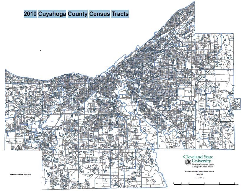 2010 Cuyahoga County Census Tracts with Roads |
NOTE: The maps below show Census 2000 tract boundaries and labels, along with municipalities and townships. They are formatted at ledger (11X17 inch) size and are designed for viewing on the computer, NOT FOR PRINTING. In order to provide visible labels they are printed in very small font and WILL NOT BE LEGIBLE if printed. When viewed in Acrobat Reader the user can zoom in to maximum scale in order to read boundaries and labels. Select the "Zoom" button and then box in the area of interest, zooming further until labels are legible.
Contact NODIS (216-687-2209) for paper versions of tract maps at various siz
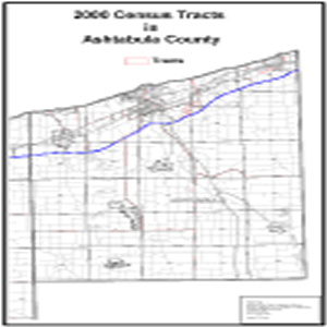 2000 Census Tracts in Ashtabula County |
|
|
Note: This map is very large & may not be viewable on PCs with old browsers/less memory |
|
 2000 Census Tracts in the Cleveland-Akron-Lorain Consolidated Metropolitan Area |
 2000 Census Tracts in Summit County |
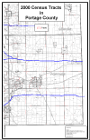
 2000 Census Tracts in Geauga County |
 2000 Census Tracts in Summit County |
 2000 Census Tracts in Lake County |
2000 Census Tract Maps for Cities
 2000 Census Tracts in Cleveland |